List Entry Summary
This building is listed under the Planning (Listed Buildings and Conservation Areas) Act 1990 as amended for its special architectural or historic interest.
Name: OLD SCANTLINGS
List Entry Number: 1286456
Location
OLD SCANTLINGS, CHURCH STREET
The building may lie within the boundary of more than one authority.
County: West Sussex
District: Adur
District Type: District Authority
Parish: Non Civil Parish
National Park: Not applicable to this List entry.
Grade: II
Date first listed: 29-Sep-1972
Date of most recent amendment: 27-Jul-1984
Legacy System Information
The contents of this record have been generated from a legacy data system.
Legacy System: LBS
UID: 297278
Asset Groupings
This List entry does not comprise part of an Asset Grouping. Asset Groupings are not part of the official record but are added later for information.
List Entry Description
Summary of Building
Legacy Record - This information may be included in the List Entry Details.
Reasons for Designation
Legacy Record - This information may be included in the List Entry Details.
History
Legacy Record - This information may be included in the List Entry Details.
Details
In the entry for:
SHOREHAM-BY-SEA CHURCH STREET
7/89 (west side)
Old Scantlings
The item shall be changed to read: CHURCH STREET
(west side)
Old Scantlings
(formerly listed
as No 26)
The former listing date shall be added to read: 29/9/72
------------------------------------
SHOREHAM-BY-SEA CHURCH STREET
TQ 2105 SE
7/89 (west side)
Old Scantlings
GV II
Cottage. Mid-C18. Flint with rendered quoins and dressings. Coped parapet to slate
roof with large central gabled dormers and end stack to left. Two storeys and attic;
irregular 3 window front, casements in wide rendered surrounds. Entrance to left with
panelled door in moulded wooden surround; flat hood on brackets over.
Listing NGR: TQ2155205105
Selected Sources
Legacy Record - This information may be included in the List Entry Details
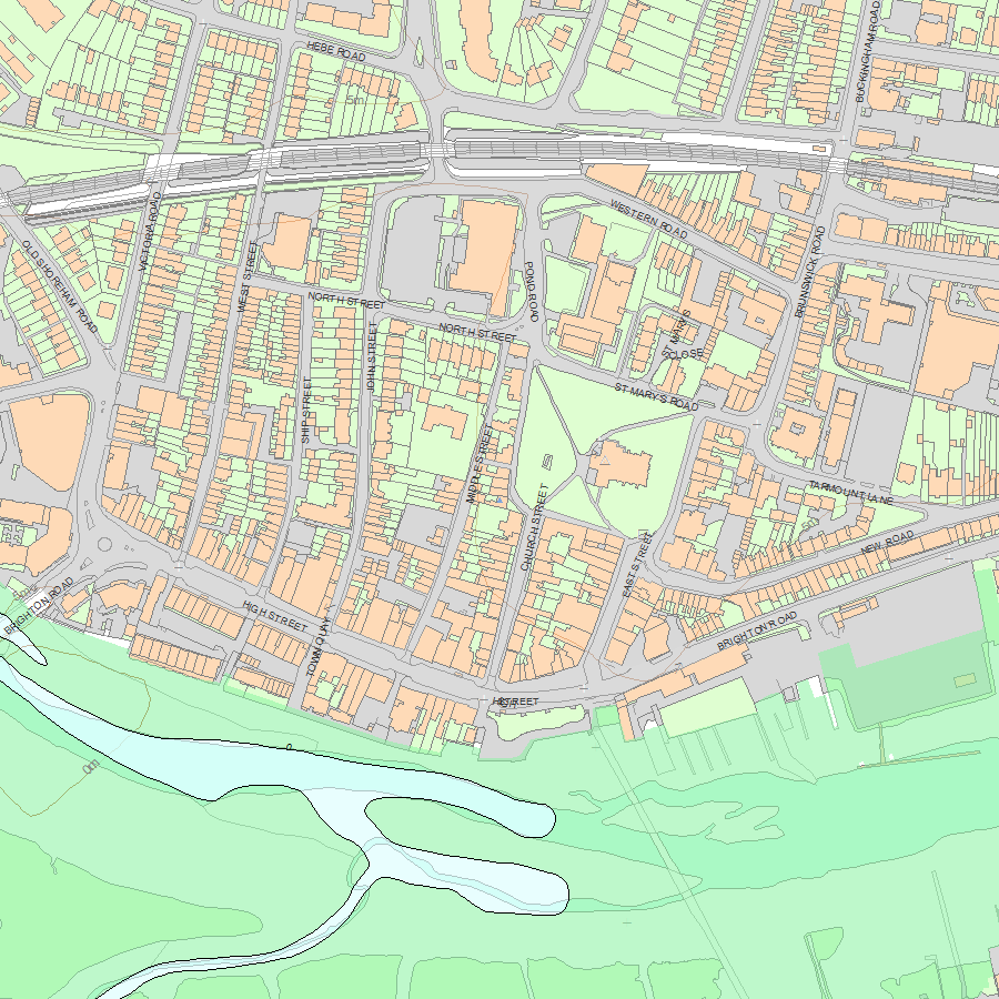
Map
National Grid Reference: TQ 21552 05105
The below map is for quick reference purposes only and may not be to scale. For a copy of the full scale map, please see the attached PDF - 1286456.pdf - Please be aware that it may take a few minutes for the download to complete.
© Crown Copyright and database right 2018. All rights reserved. Ordnance Survey Licence number 100024900.
© British Crown and SeaZone Solutions Limited 2018. All rights reserved. Licence number 102006.006.
This copy shows the entry on 05-May-2024 at 05:17:18.


