List Entry Summary
This building is listed under the Planning (Listed Buildings and Conservation Areas) Act 1990 as amended for its special architectural or historic interest.
Name: CHAPEL, APPROXIMATELY 90 METRES WEST OF MANOR FARMHOUSE
List Entry Number: 1287276
Location
CHAPEL, APPROXIMATELY 90 METRES WEST OF MANOR FARMHOUSE, VILLAGE STREET
The building may lie within the boundary of more than one authority.
County:
District: Dorset
District Type: Unitary Authority
Parish: Stourton Caundle
National Park: Not applicable to this List entry.
Grade: II*
Date first listed: 04-Oct-1960
Date of most recent amendment: 20-Dec-1983
Legacy System Information
The contents of this record have been generated from a legacy data system.
Legacy System: LBS
UID: 402741
Asset Groupings
This List entry does not comprise part of an Asset Grouping. Asset Groupings are not part of the official record but are added later for information.
List Entry Description
Summary of Building
Legacy Record - This information may be included in the List Entry Details.
Reasons for Designation
Legacy Record - This information may be included in the List Entry Details.
History
Legacy Record - This information may be included in the List Entry Details.
Details
STOURTON CAUNDLE STOURTON CAUNDLE:
ST 7114
VILLAGE STREET (WEST SIDE)
13/192
Chapel, approximately
90 m west of Manor
Farmhouse. (Formerly
listed as Barn (formerly
Chapel) 80 yards west
of Manor Farm House
(Part of Manor Farm)
4.10.60
- II*
Nave of chapel, now farm outbuilding, C13. Coursed rubble with ashlar
dressings. Part tiled, part stone-slated, gable ended roof. South facade
has single lancet right and a C19 door left. The north facade has a
single lancet left and a doorway right with chamfered 2-centred head and
continuous jambs. North lancet has a trefoiled rere-arch. East wall and
part of south wall are Cl9. C19 roof. Some early graffiti. Scheduled as
an ancient monument. "RCHM, Dorset, vol III", p 267, no 2. Newman J
and Pevsner N, "The Buildings of England, Dorset", Penguin 1972, p 403.
Listing NGR: ST7132514929
Selected Sources
Books and journalsInventory of Dorset, (1970), 267
Pevsner, N, Newman, J, The Buildings of England: Dorset, (1972), 403
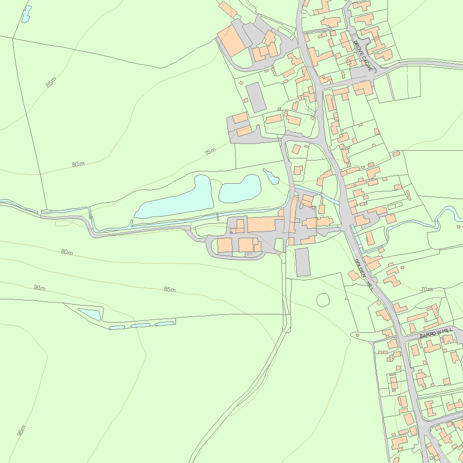
Map
National Grid Reference: ST 71325 14929
The below map is for quick reference purposes only and may not be to scale. For a copy of the full scale map, please see the attached PDF - 1287276.pdf - Please be aware that it may take a few minutes for the download to complete.
© Crown Copyright and database right 2018. All rights reserved. Ordnance Survey Licence number 100024900.
© British Crown and SeaZone Solutions Limited 2018. All rights reserved. Licence number 102006.006.
This copy shows the entry on 06-Jul-2025 at 03:56:40.


