List Entry Summary
This building is listed under the Planning (Listed Buildings and Conservation Areas) Act 1990 as amended for its special architectural or historic interest.
Name: FORMER CHAPEL OF METHODIST NEW CONNECTION
List Entry Number: 1290371
Location
FORMER CHAPEL OF METHODIST NEW CONNECTION, 27 AND 28, TOWER SQUARE
The building may lie within the boundary of more than one authority.
County:
District: City of Stoke-on-Trent
District Type: Unitary Authority
Parish: Non Civil Parish
National Park: Not applicable to this List entry.
Grade: II
Date first listed: 19-Apr-1972
Date of most recent amendment: Not applicable to this List entry.
Legacy System Information
The contents of this record have been generated from a legacy data system.
Legacy System: LBS
UID: 384503
Asset Groupings
This List entry does not comprise part of an Asset Grouping. Asset Groupings are not part of the official record but are added later for information.
List Entry Description
Summary of Building
Legacy Record - This information may be included in the List Entry Details.
Reasons for Designation
Legacy Record - This information may be included in the List Entry Details.
History
Legacy Record - This information may be included in the List Entry Details.
Details
SJ 85 SE; 613-1/2/166
STOKE ON TRENT,
TUNSTALL,
Tower Square (west side),
Nos. 27 and 28
Former Chapel of Methodist New Connection
19/04/72
GV
II
Former chapel of Methodist New Connection, now in use as
shops. 1821, with later modifications. Painted brick with
plain tiled roof. Pedimented facade to Tower Square with
inserted early C20 shop fronts to ground floor, with a
continuous fascia carried on console brackets and windows with
leaded upper lights and some decorative glazing. Central
Palladian window in stuccoed architrave above, flanked by two
windows in shouldered architraves. Plaque in pediment.
Elevation to Piccadilly Street of two storeys, rising to three over
sloping ground to west. All windows altered, though original
flat-arched heads survive, and there is one early C19 doorcase
with moulded architrave.
Listing NGR: SJ8589751218
Selected Sources
Legacy Record - This information may be included in the List Entry Details
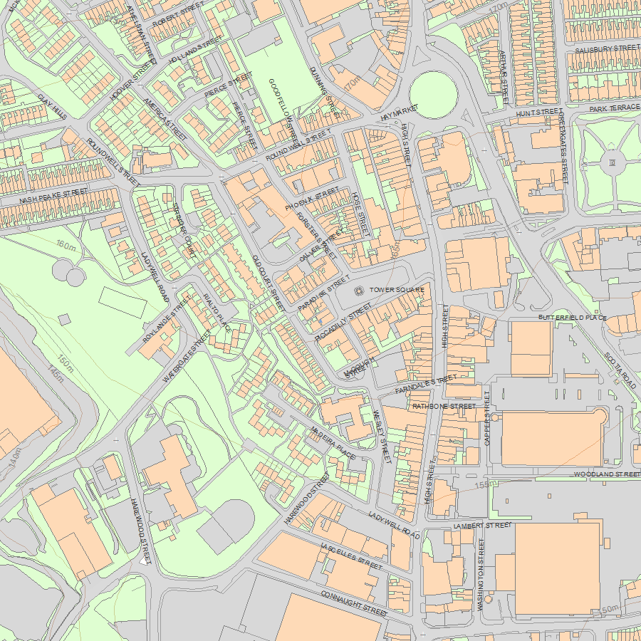
Map
National Grid Reference: SJ 85897 51218
The below map is for quick reference purposes only and may not be to scale. For a copy of the full scale map, please see the attached PDF - 1290371.pdf - Please be aware that it may take a few minutes for the download to complete.
© Crown Copyright and database right 2018. All rights reserved. Ordnance Survey Licence number 100024900.
© British Crown and SeaZone Solutions Limited 2018. All rights reserved. Licence number 102006.006.
This copy shows the entry on 19-Apr-2024 at 02:27:10.


