List Entry Summary
This building is listed under the Planning (Listed Buildings and Conservation Areas) Act 1990 as amended for its special architectural or historic interest.
Name: TADLEY PLACE FARMHOUSE
List Entry Number: 1296535
Location
TADLEY PLACE FARMHOUSE, CHURCH ROAD
The building may lie within the boundary of more than one authority.
County: Hampshire
District: Basingstoke and Deane
District Type: District Authority
Parish: Tadley
National Park: Not applicable to this List entry.
Grade: II
Date first listed: 10-Jan-1953
Date of most recent amendment: 18-May-1984
Legacy System Information
The contents of this record have been generated from a legacy data system.
Legacy System: LBS
UID: 138301
Asset Groupings
This List entry does not comprise part of an Asset Grouping. Asset Groupings are not part of the official record but are added later for information.
List Entry Description
Summary of Building
Legacy Record - This information may be included in the List Entry Details.
Reasons for Designation
Legacy Record - This information may be included in the List Entry Details.
History
Legacy Record - This information may be included in the List Entry Details.
Details
SU 55 NE TADLEY CHURCH ROAD
9/14
10.1.53 Tadley Place Farmhouse
(formerly listed as
Tadley Place)
II
C16, C18, and lte C19. The east wing of a larger Tudor E-plan house, with later minor
features, and a single-storeyed service block. Two-storeys and attic. The south
front has coupled gables and 1.1 windows; red brick walling in English bond, plinth,
moulded stone dressings to the mullioned lights. Tile roofing; a massive stack has
banded rectangular base with 4 diagonal flues. Casements. The inner (west) face also
has mullioned stone windows and the outer a large attached stepped chimney stack. The
northward extension of the western unit has C18 cambered openings, with casements; the
northern part of the east unit has been roughcast above ground-floor level, and has a
modern half-glazed porch, surrounding an older doorway with a canopy on brackets and
6-panelled door. Within, an upper floor has a C16 stone fireplace, with an entablature
and 2 Doric pilasters.
Listing NGR: SU5950461038
Selected Sources
Legacy Record - This information may be included in the List Entry Details
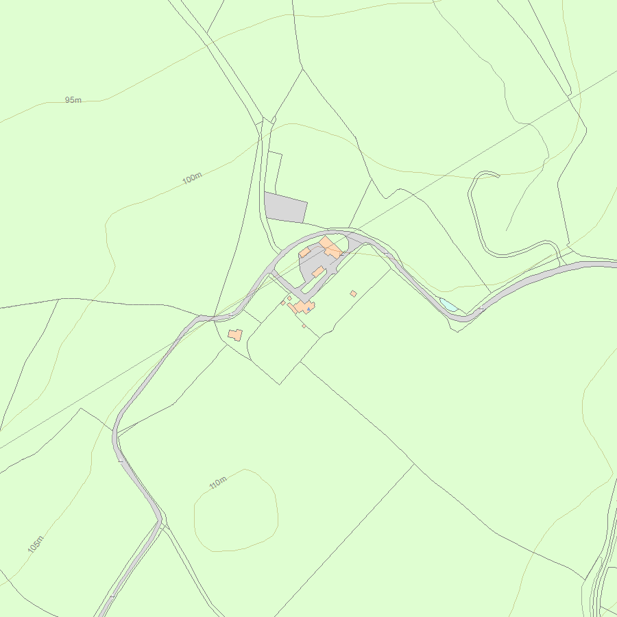
Map
National Grid Reference: SU 59375 59536
The below map is for quick reference purposes only and may not be to scale. For a copy of the full scale map, please see the attached PDF - 1296535.pdf - Please be aware that it may take a few minutes for the download to complete.
© Crown Copyright and database right 2018. All rights reserved. Ordnance Survey Licence number 100024900.
© British Crown and SeaZone Solutions Limited 2018. All rights reserved. Licence number 102006.006.
This copy shows the entry on 19-Jul-2025 at 04:34:18.


