List Entry Summary
This building is listed under the Planning (Listed Buildings and Conservation Areas) Act 1990 as amended for its special architectural or historic interest.
Name: HAWLEY FARMHOUSE
List Entry Number: 1296654
Location
HAWLEY FARMHOUSE, CHURCH ROAD
The building may lie within the boundary of more than one authority.
County: Hampshire
District: Basingstoke and Deane
District Type: District Authority
Parish: Tadley
National Park: Not applicable to this List entry.
Grade: II
Date first listed: 18-May-1984
Date of most recent amendment: Not applicable to this List entry.
Legacy System Information
The contents of this record have been generated from a legacy data system.
Legacy System: LBS
UID: 138295
Asset Groupings
This List entry does not comprise part of an Asset Grouping. Asset Groupings are not part of the official record but are added later for information.
List Entry Description
Summary of Building
Legacy Record - This information may be included in the List Entry Details.
Reasons for Designation
Legacy Record - This information may be included in the List Entry Details.
History
Legacy Record - This information may be included in the List Entry Details.
Details
SU 56 SE TADLEY CHURCH ROAD
4/24
Hawley Farmhouse
II
1823. Symmetrical front (north) of 2 storeys, 3 windows. Ripped slate roof, brick
dentil eaves. Blue header brick walling with flush red dresings, rubbed flat arches,
quoins, plinth; stone cills. Sashes in reveals, angular Victorian bays to the
ground-floor, with lead roof and sashes. Classical porchway with open pediment (with
panelled soffit) on slender Doric Order of 2 thin, columns, enclosing an arched
opening with radiating fanlight and 6-panelled door. The east elevation is
symmetrical, of 2 windows, with 2 slated hips to the roof, red brick walling in
Flemish bond with blue headers, cambered upper openings and ground-floor Dutch flat
arches. Upper casements, lower sashes. Plain doorway within a modern porch.
Listing NGR: SU5950461038
Selected Sources
Legacy Record - This information may be included in the List Entry Details
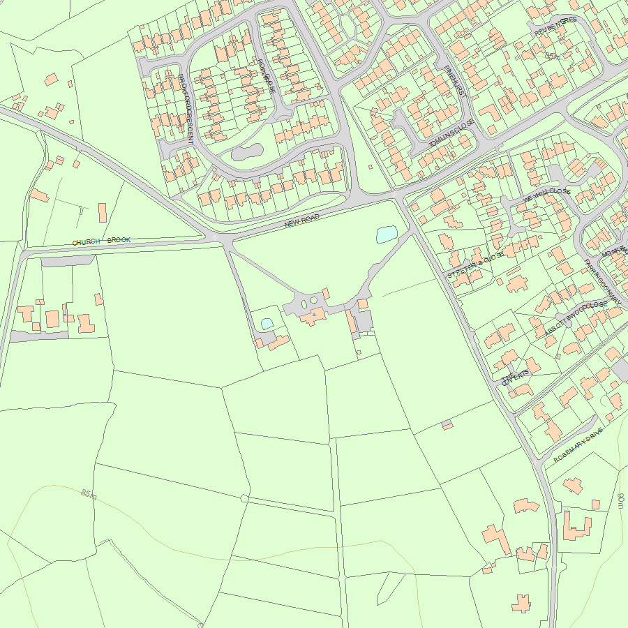
Map
National Grid Reference: SU 59499 61035
The below map is for quick reference purposes only and may not be to scale. For a copy of the full scale map, please see the attached PDF - 1296654.pdf - Please be aware that it may take a few minutes for the download to complete.
© Crown Copyright and database right 2018. All rights reserved. Ordnance Survey Licence number 100024900.
© British Crown and SeaZone Solutions Limited 2018. All rights reserved. Licence number 102006.006.
This copy shows the entry on 12-Jul-2025 at 10:43:44.


