List Entry Summary
This building is listed under the Planning (Listed Buildings and Conservation Areas) Act 1990 as amended for its special architectural or historic interest.
Name: FORMER CONVENT OF ST VINCENT
List Entry Number: 1308215
Location
FORMER CONVENT OF ST VINCENT, PERCY ROAD
The building may lie within the boundary of more than one authority.
County: Hertfordshire
District: Watford
District Type: District Authority
Parish: Non Civil Parish
National Park: Not applicable to this List entry.
Grade: II
Date first listed: 15-Sep-1982
Date of most recent amendment: Not applicable to this List entry.
Legacy System Information
The contents of this record have been generated from a legacy data system.
Legacy System: LBS
UID: 158211
Asset Groupings
This List entry does not comprise part of an Asset Grouping. Asset Groupings are not part of the official record but are added later for information.
List Entry Description
Summary of Building
Legacy Record - This information may be included in the List Entry Details.
Reasons for Designation
Legacy Record - This information may be included in the List Entry Details.
History
Legacy Record - This information may be included in the List Entry Details.
Details
1.
5259 PERCY ROAD
Former Convent of
St Vincent
TQ 1096 SE 9/41 15.9.82
II GV
2.
1890-2 convent buildings. Purple brick with red brick dressings. Neo-late C17
style. Two storey and attic. Tiled hipped roof with 8 pedimented dormers. Wood
modillion cornice at eaves. Irregularly spaced windows, glazing bar sashes in
gauged brick headed surrounds. Apron panels below 1st floor windows. Projecting
brick angle quoins at outer corners and separating 1st 3 window section from main
9 window block. Brick string between floors. Stuccoed main doorway set to right.
Ionic half-columns and entablature, with small open pedimented niche above contain-
ing statue. Later chapel to rear, purple brick, Perpendicular style.
Listing NGR: TQ1082396349
Selected Sources
Legacy Record - This information may be included in the List Entry Details
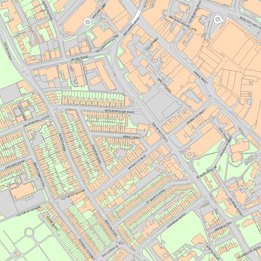
Map
National Grid Reference: TQ 10823 96349
The below map is for quick reference purposes only and may not be to scale. For a copy of the full scale map, please see the attached PDF - 1308215.pdf - Please be aware that it may take a few minutes for the download to complete.
© Crown Copyright and database right 2018. All rights reserved. Ordnance Survey Licence number 100024900.
© British Crown and SeaZone Solutions Limited 2018. All rights reserved. Licence number 102006.006.
This copy shows the entry on 19-Jul-2025 at 02:54:13.


