List Entry Summary
This building is listed under the Planning (Listed Buildings and Conservation Areas) Act 1990 as amended for its special architectural or historic interest.
Name: FRAMWELLGATE BRIDGE
List Entry Number: 1322872
Location
FRAMWELLGATE BRIDGE, RIVER WEAR
The building may lie within the boundary of more than one authority.
County:
District: County Durham
District Type: Unitary Authority
Parish: City of Durham
National Park: Not applicable to this List entry.
Grade: I
Date first listed: 06-May-1952
Date of most recent amendment: Not applicable to this List entry.
Legacy System Information
The contents of this record have been generated from a legacy data system.
Legacy System: LBS
UID: 110441
Asset Groupings
This List entry does not comprise part of an Asset Grouping. Asset Groupings are not part of the official record but are added later for information.
List Entry Description
Summary of Building
Legacy Record - This information may be included in the List Entry Details.
Reasons for Designation
Legacy Record - This information may be included in the List Entry Details.
History
Legacy Record - This information may be included in the List Entry Details.
Details
NZ 2742 SW, 14/386
DURHAM AND FRAMWELLGATE,
RIVER WEAR,
Framwellgate Bridge
06/05/52
GV
I
Bridge. Early C15 replacement for early C12 bridge; widened early C19.
Coursed squared sandstone with ashlar dressings: Two wide elliptical arches on
south side have three chamfers; central cutwater; iron cladding on springing at
east end on outer ribs. Seven square ribs. Further cutwater on land at east end,
and one land arch visible. Bands at road bed level, dipping to stone drains.
Renewed parapet has chamfered coping. Three C20 cast-iron lamps on parapet at
each side with founder's mark Bromford Tube Co.
A scheduled ancient monument.
Listing NGR: NZ2723742431
Selected Sources
Legacy Record - This information may be included in the List Entry Details
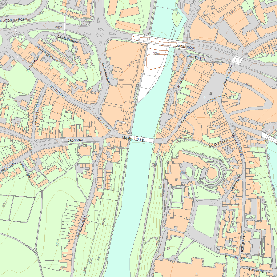
Map
National Grid Reference: NZ 27237 42431
The below map is for quick reference purposes only and may not be to scale. For a copy of the full scale map, please see the attached PDF - 1322872.pdf - Please be aware that it may take a few minutes for the download to complete.
© Crown Copyright and database right 2018. All rights reserved. Ordnance Survey Licence number 100024900.
© British Crown and SeaZone Solutions Limited 2018. All rights reserved. Licence number 102006.006.
This copy shows the entry on 19-Jul-2025 at 04:26:48.


