List Entry Summary
This building is listed under the Planning (Listed Buildings and Conservation Areas) Act 1990 as amended for its special architectural or historic interest.
Name: No name for this Entry
List Entry Number: 1343375
Location
122 AND 124, COLMORE ROW B3
The building may lie within the boundary of more than one authority.
County:
District: Birmingham
District Type: Metropolitan Authority
Parish: Non Civil Parish
National Park: Not applicable to this List entry.
Grade: I
Date first listed: 21-Jan-1970
Date of most recent amendment: Not applicable to this List entry.
Legacy System Information
The contents of this record have been generated from a legacy data system.
Legacy System: LBS
UID: 216991
Asset Groupings
This List entry does not comprise part of an Asset Grouping. Asset Groupings are not part of the official record but are added later for information.
List Entry Description
Summary of Building
Legacy Record - This information may be included in the List Entry Details.
Reasons for Designation
Legacy Record - This information may be included in the List Entry Details.
History
Legacy Record - This information may be included in the List Entry Details.
Details
COLMORE ROW
1.
5104
City Centre B3
Nos 122 and 124
SP 0686 NE 33/19 21.1.70
GV
2.
1900, by Lethaby and Ball for the Eagle Insurance Company. Stone with a little
brick. Four storeys; 5 bays. Ground floor with a large 5-light mullioned and
transomed window and symmetrical doorways left and right with simple 2-light windows
and sculptured plaques above. First, second and third floors each with uniform
sash windows between pilasters. The 3rd floor windows with a frieze of Romansque
derivation in their heads and alternating semi-circular and triangular pediments
above. Attic storey with chequer work pattern in which are set plain blank discs
and, centrally, an eagle. Original metal doors and much of the interior
furnishings and fittings remain.
Listing NGR: SP0676986926
Selected Sources
Legacy Record - This information may be included in the List Entry Details
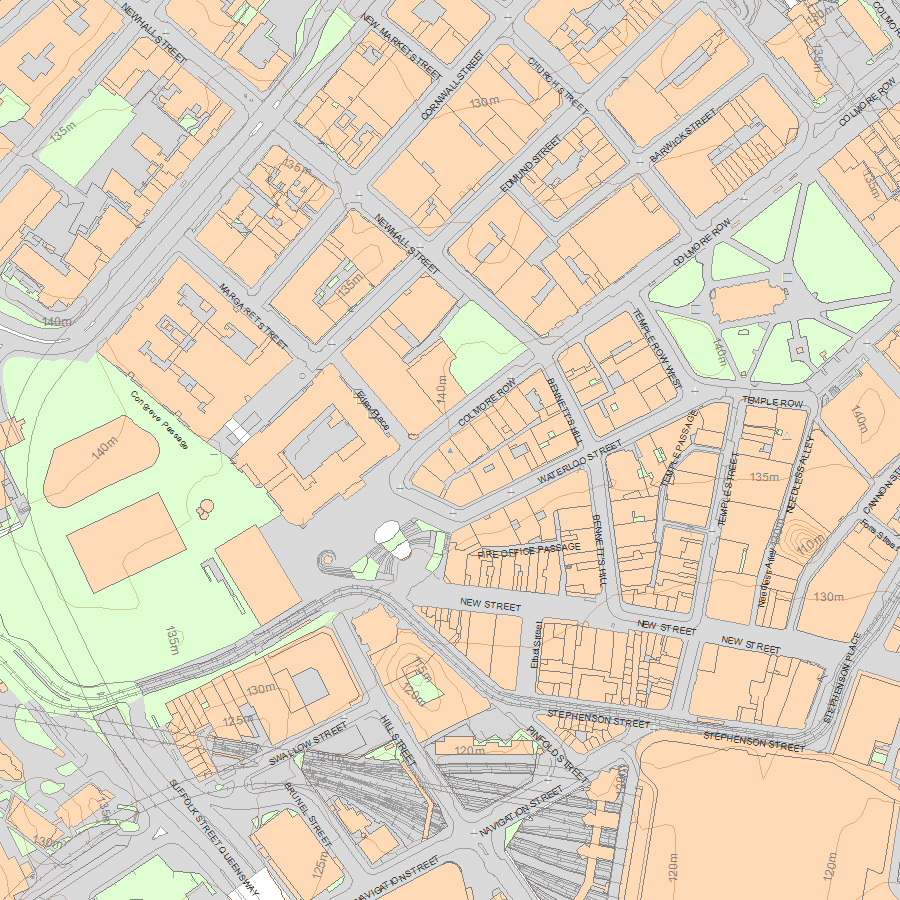
Map
National Grid Reference: SP 06765 86932
The below map is for quick reference purposes only and may not be to scale. For a copy of the full scale map, please see the attached PDF - 1343375.pdf - Please be aware that it may take a few minutes for the download to complete.
© Crown Copyright and database right 2018. All rights reserved. Ordnance Survey Licence number 100024900.
© British Crown and SeaZone Solutions Limited 2018. All rights reserved. Licence number 102006.006.
This copy shows the entry on 12-May-2024 at 07:16:59.


