List Entry Summary
This building is listed under the Planning (Listed Buildings and Conservation Areas) Act 1990 as amended for its special architectural or historic interest.
Name: NUMBERS 47 AND 48 AND 49 AND ATTACHED RAILINGS
List Entry Number: 1380809
Location
NUMBERS 47 AND 48 AND 49 AND ATTACHED RAILINGS, 47, 48 AND 49, REGENCY SQUARE
The building may lie within the boundary of more than one authority.
County:
District: The City of Brighton and Hove
District Type: Unitary Authority
Parish: Non Civil Parish
National Park: Not applicable to this List entry.
Grade: II
Date first listed: 26-Aug-1999
Date of most recent amendment: Not applicable to this List entry.
Legacy System Information
The contents of this record have been generated from a legacy data system.
Legacy System: LBS
UID: 481133
Asset Groupings
This List entry does not comprise part of an Asset Grouping. Asset Groupings are not part of the official record but are added later for information.
List Entry Description
Summary of Building
Legacy Record - This information may be included in the List Entry Details.
Reasons for Designation
Legacy Record - This information may be included in the List Entry Details.
History
Legacy Record - This information may be included in the List Entry Details.
Details
BRIGHTON
TQ3004SW REGENCY SQUARE
577-1/38/743 (East side)
Nos.47, 48 AND 49
and attached railings
GV II
Terraced houses. Mid-C19. Stucco, roofs obscured by parapet.
3 storeys over basement, one-window range. Round-arched
entrance to Nos 48 and 49, flat-arched to No.47, with
bracketed cornice over; full-height canted bays, the windows
with basket-arched architraves and pilasters with stepped
capitals, and window-guards to all except second floors of Nos
47 and 48; stucco bands to all floors; cornice and blocking
course; stacks to party walls.
INTERIOR: not inspected.
Cast-iron railings to steps and area with finials of various
design.
Listing NGR: TQ3046704222
Selected Sources
Legacy Record - This information may be included in the List Entry Details
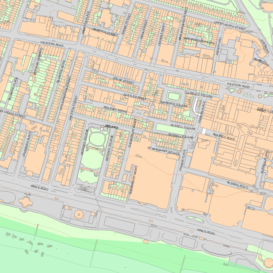
Map
National Grid Reference: TQ 30467 04222
The below map is for quick reference purposes only and may not be to scale. For a copy of the full scale map, please see the attached PDF - 1380809.pdf - Please be aware that it may take a few minutes for the download to complete.
© Crown Copyright and database right 2018. All rights reserved. Ordnance Survey Licence number 100024900.
© British Crown and SeaZone Solutions Limited 2018. All rights reserved. Licence number 102006.006.
This copy shows the entry on 27-Apr-2024 at 01:23:05.


