List entry Summary
This building has been assessed for de-listing under the Planning (Listed Buildings and Conservation Areas) Act 1990 as amended. The building has been removed from The National Heritage List for England as it no longer meets the criteria for listing.
Name: Old Bartow's
Reference Number: 1466990
Location
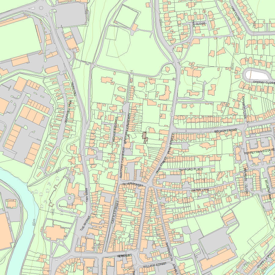
Bartows Causeway, Tiverton, EX16 6RH
The building may lie within the boundary of more than one authority.
County: Devon
District: Mid Devon
District Type: District Authority
Parish: Tiverton
National Park: Not applicable to this List entry.
Date first listed: 10-Apr-2000
Date De-listed: 23-Sep-2019
Description
Summary of Building
Early-C19 house, altered in the late C20 and early C21.
Reasons for Removing the Building from the List
Old Bartow’s, Tiverton, an early-C19 suburban villa that underwent significant renovation work in the late C20, is removed from the List for the following principal reasons:
Degree of architectural interest:
* extensive refurbishment has severely compromised the historic fabric of the building: the roof structure and the fenestration are late-C20 replacements, and the former stables have been converted beyond recognition;
* the historic internal layout has been substantially reconfigured, including the removal of the main staircase.
Degree of historic interest:
* whilst there is evidence that Old Bartow’s was built during the suburban growth of Tiverton, there is little in the remaining fabric to reflect its interest.
Selected Sources
Map
National Grid Reference: SS 95611 13047, SS9561113046
The below map is for quick reference purposes only and may not be to scale. For a copy of the full scale map, please see the attached PDF - 1466990.pdf - Please be aware that it may take a few minutes for the download to complete.
© Crown Copyright and database right 2018. All rights reserved. Ordnance Survey Licence number 100024900.
© British Crown and SeaZone Solutions Limited 2018. All rights reserved. Licence number 102006.006.
This copy shows the entry on 28-Apr-2024 at 08:38:40.


