If you think this information is inaccurate please e-mail corrections to
Hertfordshire HER
.
| HHER Number: | 10133 |
|---|
| Type of record: | Monument |
|---|
| Name: | ALLEN'S GREEN (SAWBRIDGEWORTH) AERODROME, HIGH WYCH |
|---|
Summary
First World War emergency landing ground, much expanded in the Second World War
Images
 No image caption available © Hertfordshire County Council | 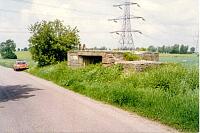 No image caption available © Hertfordshire County Council |
 No image caption available © Hertfordshire County Council |  No image caption available © Hertfordshire County Council |
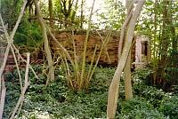 No image caption available © Hertfordshire County Council | 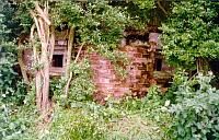 No image caption available © Hertfordshire County Council |
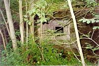 No image caption available © Hertfordshire County Council | 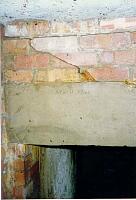 No image caption available © Hertfordshire County Council |
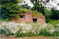 No image caption available © Hertfordshire County Council | 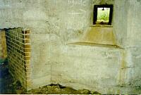 No image caption available © Hertfordshire County Council |
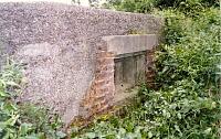 No image caption available © Hertfordshire County Council |  No image caption available © Hertfordshire County Council |
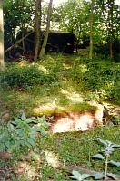 No image caption available © Hertfordshire County Council |  No image caption available © Hertfordshire County Council |
 No image caption available © Hertfordshire County Council | 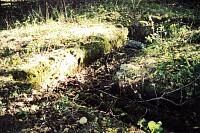 No image caption available © Hertfordshire County Council |
 No image caption available © Hertfordshire County Council | 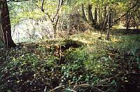 No image caption available © Hertfordshire County Council |
 No image caption available © Hertfordshire County Council | 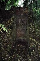 No image caption available © Hertfordshire County Council |
 No image caption available © Hertfordshire County Council | 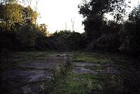 No image caption available © Hertfordshire County Council |
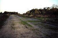 No image caption available © Hertfordshire County Council | 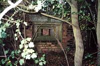 No image caption available © Hertfordshire County Council |
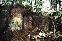 No image caption available © Hertfordshire County Council | 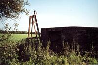 No image caption available © Hertfordshire County Council |
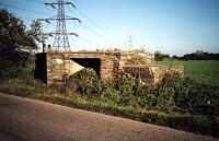 No image caption available © Hertfordshire County Council | 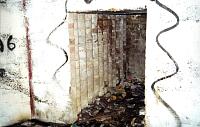 No image caption available © Hertfordshire County Council |
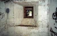 No image caption available © Hertfordshire County Council | 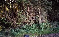 No image caption available © Hertfordshire County Council |
 No image caption available © Hertfordshire County Council | 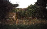 No image caption available © Hertfordshire County Council |
 No image caption available © Hertfordshire County Council |  No image caption available © Hertfordshire County Council |
 No image caption available © Hertfordshire County Council | 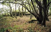 No image caption available © Hertfordshire County Council |
 No image caption available © Hertfordshire County Council | 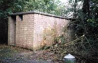 No image caption available © Hertfordshire County Council |
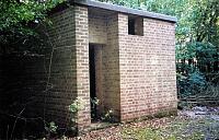 No image caption available © Hertfordshire County Council | 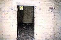 No image caption available © Hertfordshire County Council |
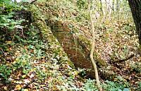 No image caption available © Hertfordshire County Council | 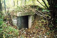 No image caption available © Hertfordshire County Council |
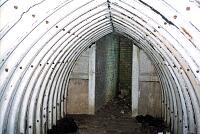 No image caption available © Hertfordshire County Council |  No image caption available © Hertfordshire County Council |
 No image caption available © Hertfordshire County Council | 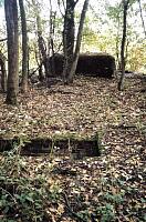 No image caption available © Hertfordshire County Council |
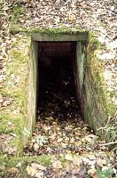 No image caption available © Hertfordshire County Council | 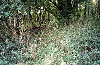 No image caption available © Hertfordshire County Council |
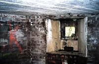 No image caption available © Hertfordshire County Council | 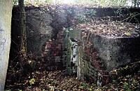 No image caption available © Hertfordshire County Council |
Monument Types
- AIRFIELD (World War I - 1914 AD to 1918 AD)
- AIRFIELD (World War II - 1939 AD to 1945 AD)
Protected Status
- Scheduled Ancient Monument 32451
- Sensitivity Map: allen's green airfield and deer park
- SHINE: WW2 Air Defences,medieval moat & ph earthworks in and surrounding Mathams Wood
Full description
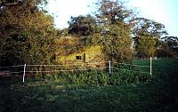
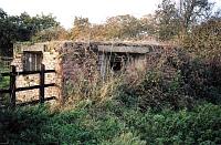
RAF vertical APs of part of Allen's Green WWII aerodrome c.1946 show gun emplacements, pillboxes and ancilliary buildings <1>.
The site was originally a First World War emergency night landing ground for pilots having trouble returning to base. Later in 1937 the site, now known as Mathams Wood, became an Advanced Landing Ground for 22 Group Squadrons, Army Co-operation Command. From 1940 the site was expanded for use as a fully operational airfield <3>. On 15 June 1940 the flight office was established in a requisitioned farmhouse. A hedge was removed and ditches filled in before a 950 yard all weather runway was constructed. Coir matting was overlaid with Summerfeld Track (mesh wire netting secured by metal pickets and strengthened by flat steel bars). By October 1940 the airfield covered 77 acres and its squadron fully moved in.
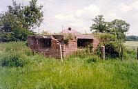
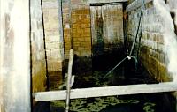
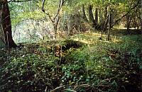
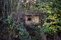
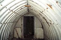
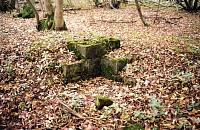
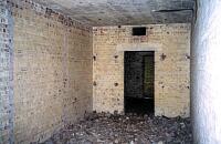
During the early summer of 1941 the airfield's Lysanders were replaced with Tomahawk fighters. To accommodate them the runway was lengthened and a second added. A concrete road was built to link them and the airfield now covered 300 acres. In mid March 1942 a third runway was started together with improved permanent facilities and hangars <5>. Thirteen aircraft disposal pens (of which three survive), blister hangars, ammunition stores, a battle headquarters, barracks, sleep shelters and a watch office were constructed witihin a concrete perimeter road. These were protected by pillboxes and rifle trenches. The RAF left during the late 1940s when much of the infrastrucure was removed <3>.
RAF aerial photos from 1948 and 1952, and plans of the airfield and battlefield HQ and dispersal pen types can be found in the EH scheduling proposal <4>.
See also [6932] to [6942], [6990] to [6942, 11870].
Doyle, Paul A, Where the Lysanders were, Maps (Bibliographic reference). SHT5624.
RAF, 1946, Allen's Green aerodrome, High Wych, PNO 8827 (Aerial Photograph). SHT16067.
RAF, 1946, Allen's Green aerodrome, High Wych, PNO 8828 (Aerial Photograph). SHT16068.
Nash, Fred, 2002, Plans showing location of WWII structures on Allen's Green airfield (Cartographic material). SHT8343.
<1> Hunns, Terry, RAF air photos in Herts County Record Office, digitized and interpreted, AP 5263 and 5264 (106G/UK/1367) (Aerial Photograph). SHT4312.
<2> Nash, F & Tyler, S Hertfordshire County Council, Allen's Green (RAF Sawbridgeworth) SMR Updates November 2001 (Bibliographic reference). SHT7275.
<3> Scheduled Monument description, 18.3.2004 (Scheduling record). SHT9990.
<4> EH schedule proposal folder (Bibliographic reference). SHT3140.
<5> Smith, Graham, 1999, Hertfordshire & Bedfordshire airfields in the Second World War, - p192-203 (Bibliographic reference). SHT10185.
<6> Evan-Hart, Julian, 2007, War-torn skies of Great Britain: Hertfordshire, - p24-5 (Bibliographic reference). SHT5756.
Sources and further reading
| --- | Aerial Photograph: RAF. 1946. Allen's Green aerodrome, High Wych. PNO 8827. |
| --- | Aerial Photograph: RAF. 1946. Allen's Green aerodrome, High Wych. PNO 8828. |
| --- | Bibliographic reference: Doyle, Paul A. Where the Lysanders were. Maps. |
| --- | Cartographic material: Nash, Fred. 2002. Plans showing location of WWII structures on Allen's Green airfield. |
| <1> | Aerial Photograph: Hunns, Terry. RAF air photos in Herts County Record Office, digitized and interpreted. AP 5263 and 5264 (106G/UK/1367). |
| <2> | Bibliographic reference: Nash, F & Tyler, S Hertfordshire County Council, Allen's Green (RAF Sawbridgeworth) SMR Updates November 2001. |
| <3> | Scheduling record: Scheduled Monument description. 18.3.2004. |
| <4> | Bibliographic reference: EH schedule proposal folder. |
| <5> | Bibliographic reference: Smith, Graham. 1999. Hertfordshire & Bedfordshire airfields in the Second World War. - p192-203. |
| <6> | Bibliographic reference: Evan-Hart, Julian. 2007. War-torn skies of Great Britain: Hertfordshire. - p24-5. |
Related records
| 6997 | Parent of: AIRCRAFT DISPERSAL PEN, ALLEN'S GREEN AIRFIELD N (Building) |
| 6998 | Parent of: AIRCRAFT DISPERSAL PEN, ALLEN'S GREEN AIRFIELD N (Building) |
| 6999 | Parent of: AIRCRAFT DISPERSAL PEN, ALLEN'S GREEN AIRFIELD N (Building) |
| 6992 | Parent of: AIRCRAFT DISPERSAL PEN, ALLEN'S GREEN AIRFIELD NW (Building) |
| 6942 | Parent of: BATTLE HEADQUARTERS, ALLEN'S GREEN AIRFIELD EAST (Building) |
| 15488 | Parent of: EARTHEN INFANTRY FIRING TRENCH, ALLEN'S GREEN (Monument) |
| 6991 | Parent of: FOUNDATIONS, ALLEN'S GREEN AIRFIELD NW (Building) |
| 6941 | Parent of: PILLBOX, ALLEN'S GREEN AIRFIELD EAST (Building) |
| 6938 | Parent of: PILLBOX, ALLEN'S GREEN AIRFIELD N (Building) |
| 6937 | Parent of: PILLBOX, ALLEN'S GREEN AIRFIELD NORTH, HIGH WYCH (Building) |
| 6935 | Parent of: PILLBOX, ALLEN'S GREEN AIRFIELD NW (Building) |
| 6936 | Parent of: PILLBOX, ALLEN'S GREEN AIRFIELD NW, HIGH WYCH (Building) |
| 6934 | Parent of: PILLBOX, TRAFFIC CONTROL BARRIER AND LIGHT TOWER, ALLEN'S GREEN AIRFIELD W (Building) |
| 6993 | Parent of: POSSIBLE EARTHEN DEFENCE POST/GUN EMPLACEMENT, ALLEN'S GREEN AIRFIELD N (Monument) |
| 11870 | Parent of: SITE OF BLISTER (AIRCRAFT) HANGAR, ALLENS GREEN AIRFIELD (Monument) |
| 6994 | Parent of: SITE OF PILLBOX OR PILLBOXES, ALLEN'S GREEN AIRFIELD (Monument) |
| 6933 | Parent of: SITE OF PILLBOX, ALLEN'S GREEN AIRFIELD SW, HIGH WYCH (Monument) |
| 6996 | Parent of: SLEEPING SHELTER AND SITE OF FLIGHT OFFICES, ALLEN'S GREEN AIRFIELD N (Building) |
| 6995 | Parent of: SMALL ARMS AMMUNITION STORE, ALLEN'S GREEN AIRFIELD N (Building) |
| 6990 | Parent of: TWO INFANTRY FIRING TRENCHES, ALLEN'S GREEN AIRFIELD NW (Building) |
Search results generated by the HBSMR Gateway from exeGesIS SDM Ltd.